

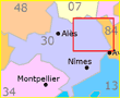
Cavillargues
• Gard (30) • Population: 806 • Altitude: 137 m
Gallery of 10 photos for Cavillargues
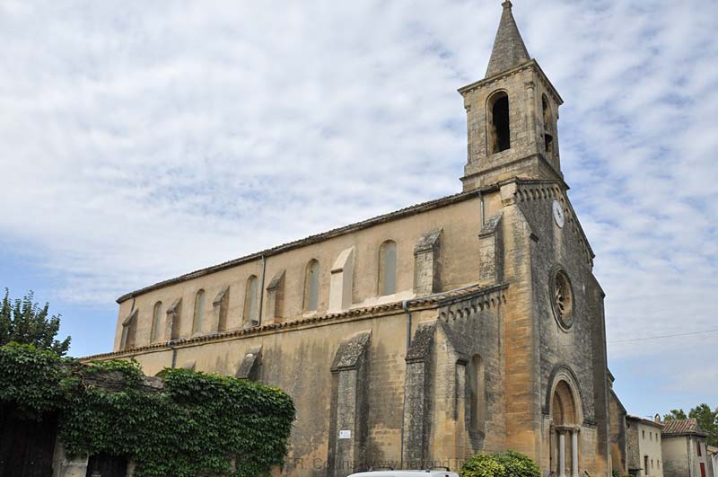
Cavillargues is a village in the Tave river valley southwest of Bagnols-sur-Cèze. The village is built around a 12th-16th century castle which were once the defensive walls of the original village. The most striking building in the village is the 19th-century church.
One café, basic shops, one restaurant.
St Sepulcre Chapel
The Chapelle du Saint Sépulcre, or Ermitage Notre-Dame-du-Saint-Sépulcre, is a nicely restored 12th-century chapel located 1.5 km northeast of Cavillargues village center.
Location (lat, long): 44.12255, 4.53433
Cavillargues Dolmen
A prehistoric dolmen, and ancient burial tomb, is located about 2.5 km east of the center of Cavillargues. This dolmen has a very large (4m x 2.5 m) cap stone.
Location (lat, long): 44.11638, 4.54608
Hiking
• GPS: 44.114237, 4.522019
Maps
IGN (1/25,000) #2940 OT "Bagnols-sur-Cèze, Pont-St-Exprit, Forets de Valbonne et"
"Le Val de Tave", map+info (1:25'000)
Transportation Cavillargues
Department 30, Gard Buses
- See Beyond's Gard Department Bus Schedules for Gard bus-lines maps and bus-line schedules (Horaires).
Maps (Plans) for the Gard bus lines are on the www.edgard.fr website, with a flash webpage for each of five zones around Nîmes (www.edgard-transport.fr/plan/?rub_code=5).
Schedules for the Gard bus lines are available via the www.edgard.fr website horaires page (www.edgard-transport.fr/horaires/?rub_code=23).