


Montpezat
• Gard (30730) • Population: 1,081 • Altitude: 170 m
Gallery of 15 photos for Montpezat

 See map
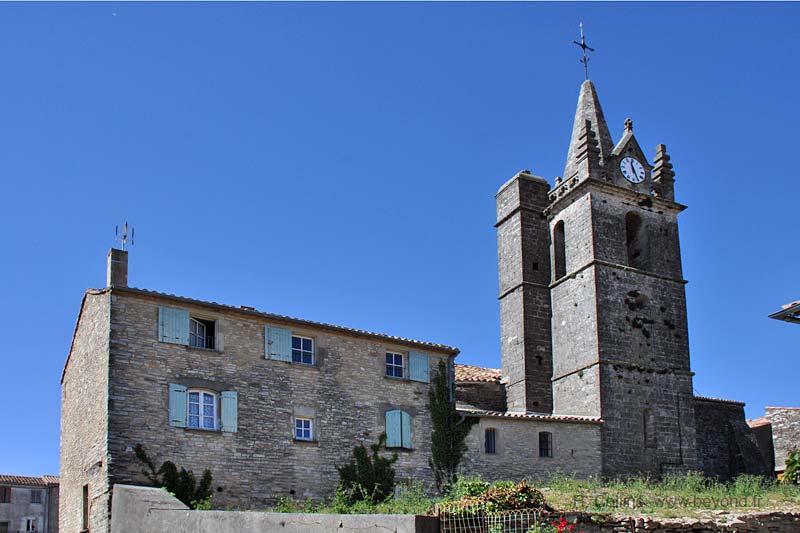
Montpezat is a perched medieval village, built in a tight circle at the top of a hill overlooking farming plains and vineyards, only 18 km west of Nîmes. The old village is quite authentic, not overly refurbished, with many narrow, cobblestone streets for exploring. It's a lived-in old village, in spite of its lack of café or commerce.
No village café, no commerce.
 There are no particular sights here to attract tourists; it's more a pretty place for a short visit if you happen to be in the neighborhood.
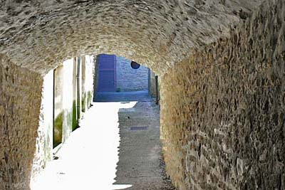
We did love the narrow, cobblestone streets between the ancient stone walls, and the many vaulted passages, often with house doorways or entry steps popping up here and there.
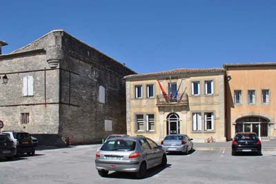 The main square of Montpezat is is the large, open Place de l'Eglise, with the town hall (Mairie) and a corner of the massive old castle.
The medieval fortress-castle probably dates to the 12th century, although mention of it doesn't appear in any archives. The chateau is privately owned and isn't open to visits.
The main square of Montpezat is is the large, open Place de l'Eglise, with the town hall (Mairie) and a corner of the massive old castle.
The medieval fortress-castle probably dates to the 12th century, although mention of it doesn't appear in any archives. The chateau is privately owned and isn't open to visits.
Montpezat Lavoir
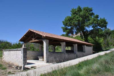 A large, covered lavoir is located 200 m southeast of the old village, out a farming road that goes southeast down through the vineyards and fields and up into the garrigue. The hiking panel at "La Garenne" (bottom of the steps below the parking lot and the park/playground) is marked "Combe Obscure"; that's a point in the garrigue well past the lavoir.
Transportation Montpezat
Department 30, Gard Buses
- See Beyond's Gard Department Bus Schedules for Gard bus-lines maps and bus-line schedules (Horaires).
Maps (Plans) for the Gard bus lines are on the www.edgard.fr website, with a flash webpage for each of five zones around Nîmes (www.edgard-transport.fr/plan/?rub_code=5).
Schedules for the Gard bus lines are available via the www.edgard.fr website horaires page (www.edgard-transport.fr/horaires/?rub_code=23).