Cesars Camp GR42 Map
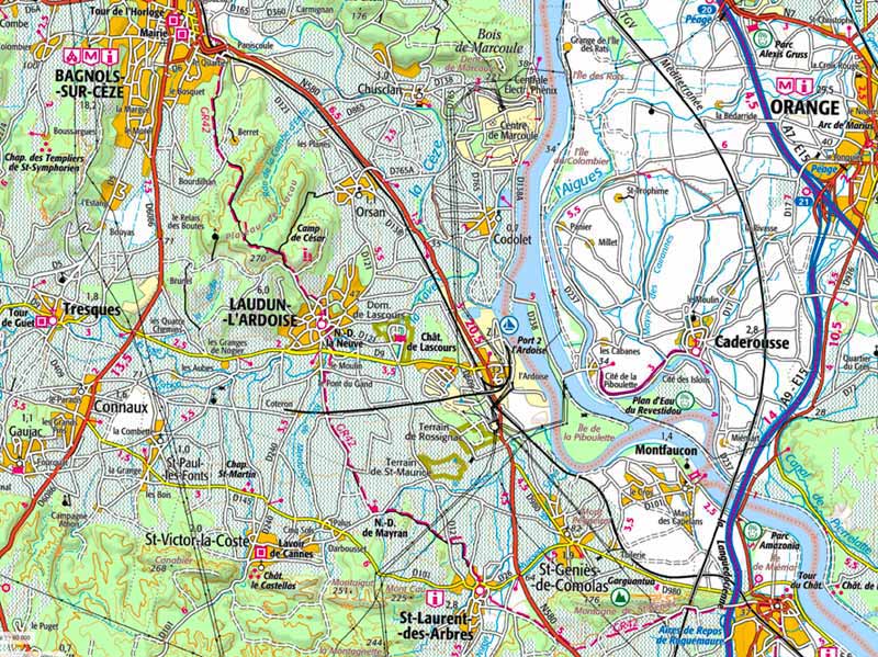
The GR42 hiking trail is the red dashed-line, south via Bagnols-sur-Cèze, Cesars Camp, Laudun-l'Ardoise, St-Laurent-des-Arbres.
Cesars Camp Laudun Map | Cesars Camp GR42 Map |

All information gathered first-hand, since 1995
 Cesars Camp Laudun /
/ Cesars Camp GR42 Map
Cesars Camp Laudun /
/ Cesars Camp GR42 Map
The world's oldest, largest (and best) website about Provence
The GR42 hiking trail is the red dashed-line, south via Bagnols-sur-Cèze, Cesars Camp, Laudun-l'Ardoise, St-Laurent-des-Arbres.
Cesars Camp Laudun Map | Cesars Camp GR42 Map |
 After 25 years online, I've decided to remove all Ads from my one-man web Provence Beyond. If the content is enjoyable or useful to you, I would really appreciate your support.