

Utelle Hike Photo Gallery

1/12. North of Utelle village at borne 112. The GR5 continues onward and upward; our trail goes to the right, no climbing yet.
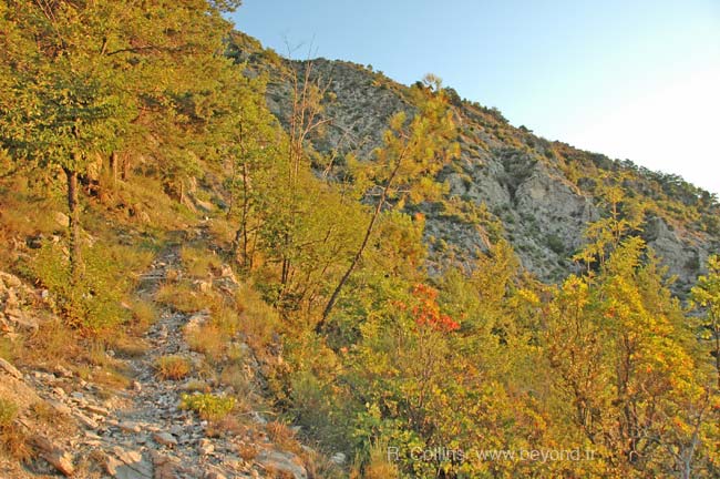
2/12. The first bit of sunrise shines redly on the trail north.
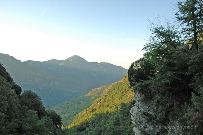
3/12. Look south over the Vesubie valley. Sunrise just starting to light the forested mountain side.
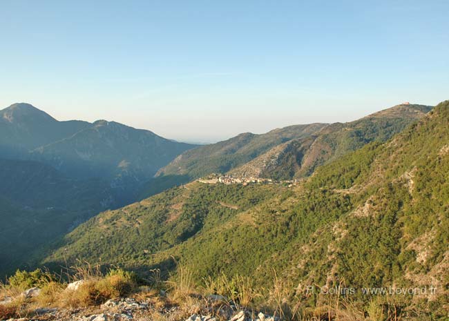
4/12. Looking back south at Utelle village after sunrise. The Santuaire de la Madone d'Utelle is the pink building (or dot) on the hilltop at the far right.

5/12. A shady, grassy trail from Utelle leading down towards the little rivers before Le Figaret.
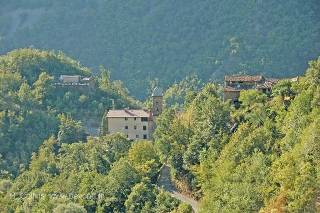
6/12. Coming down the mountain to St Honorat beside Le Figaret. House and church steeple in the middle (church behind the trees) and cemetery at the left.

7/12. Le Figaret, the hamlet just down the road from the St Honorat church and cemetery. And the mountains in the northeast, up the Vesubie valley.
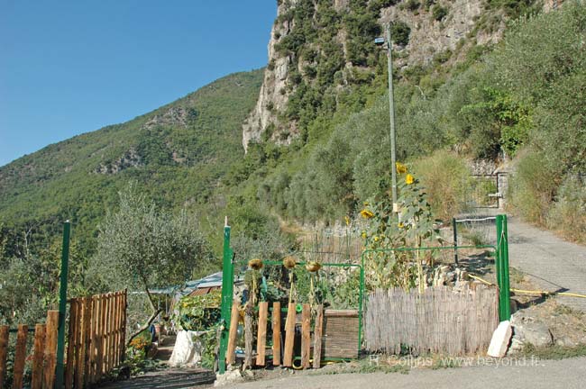
8/12. St Honorat garden, across from the front door of the St Honorat church. The trail south, towards Utelle, goes along the right-hand edge of this garden and out past the base of the cliffs.
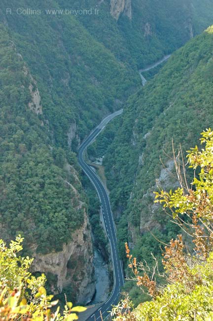
9/12. A glimps down into the Vesubie gorge. The road cross back and forth over the Vesubie river on its way up to St Martin-Vesubie.

10/12. A stone house lost in a little river valley at Sanibergue. Not even a hamlet, but a place in the woods, northeast of Utelle and northwest of Saint Jean-la-Rivière.

11/12. Borne 12, near the lower part of the switch-back road up to Utelle. The shady hiking is over, and it's a hot trudge now up to the village.

12/12. Hiking map Utelle, St-Honorat, Le Figaret loop
 After 25 years online, I've decided to remove all Ads from my one-man web Provence Beyond. If the content is enjoyable or useful to you, I would really appreciate your support.