

Roumoules
• Alpes-de-Haute-Provence (04500) • Population: 469 • Altitude: 600 m
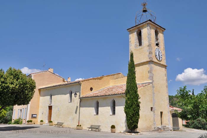
Gallery of 7 photos for Roumoules

A tiny village near Riez with a few old sites, terrace café, hiking trail and a great restaurant.
History of Roumoules
An establishment grew here, during the Roman occupation of Riez, that gradully grew into the village that evolved into the current Roumoules. Until the 15th century, Roumoules was annexed to the Medieval community of Saint Martin-le-Rimat, 4 km northeast. In the 17th century it became a Barony of the Grimaldi.
Gallo-Roman: In 1957 a Gallo-Roman sepulture complete with furniture was found here.
Hiking
• GPS: 43.826983, 6.129265
Maps
IGN (1/25,000) #3342 ET "Plateau de Valensole"
The GR4 hiking trail passes through Roumoules. To the west, the GR4 goes through Riez and continues southwest through the Verdon National Park past Allemagene-en-Provence. To the east, the GR4 goes to Moustieres-Sainte-Marie before continuing past the Gorges du Verdon.
Transportation Roumoules
Department 04, Alpes-de-Haute Provence Buses
- See Beyond's Alpes-de-Haute Provence (04) Bus Schedules for downloading Alpes-de-Haute Provence bus-lines map and bus-line schedules [pdf for each line] (link for PDF files).
Riez - Moustiers-Ste-Marie Bus
- The Riez - Moustiers-Sainte-Marie bus line has several buses a day; trip time 35 minutes. Schedule available via the Riez town website (see Beyond's Riez page). Stops: Riez, Roumoules, Moustiers-Sainte-Marie.