

Rognes
• Bouches-du-Rhône (13840) • Population: 3,450 • Altitude: 324 m
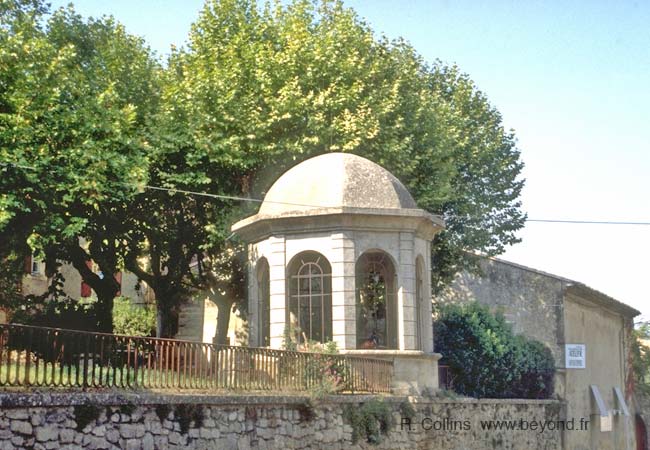
Gallery of 3 photos for Rognes

The village of Rognes sits on the side of the Foussa hill, about 5 km southwest of the Durance river. The village was destroyed in 1909, and rebuilt lower on the hillside, so the buildings are not terribly old. The old stone was of course used, and there are some houses built partially with the pierre de Rognes, a famous ochre-red stone used for sculptures and decoration.
Aix Historic NW
The lovely old ruins of the ancient village remain on the hilltop, along with the ruins of the old castle, dismantled in 1595.
There are several regional châteaux and chapels from the 14th to 17th centuries, including: Château de Cabanes; Château de Beaulieu; Château de Tournefort, rebuilt at the end of the 17th century, with its original medieval tower.
History of Rognes
Name
First record, 1150 Rognes
Gallo-Roman: Signs of Roman occupation here include a Gallo-Roman villa at the hamlet of Ribière (3 km east), and a Roman mausoleum at the Domain de Barbebelle (3 km south). Several Gallo-Roman vestiges were also discovered at Beaulieu (4 km southwest).
Medieval: Rognes was in the domain of the Lords of Alamanon in the 14th century, and in the 15th century it passed to the Agoults. At the end of the 16th century, Rognes was attached to the Raphélis by marriage.
More Recently: Rognes was pretty much destroyed by the earthquake of 1909. It was moved from the Foussa plateau, and rebuilt at the foot of the Foussa, on the flank of the hill.
Dates
Sep - Fete votive de Rognes, tradition and folklore.
Dec - Rencontres autour de la Truffe - Truffle markets, tasting, danses folkloriques, etc.
Hiking
• GPS: 43.663522, 5.347342
Maps
IGN (1/25,000) #3143 ET "Aix-en-Provence, Vitrolles, Lambesc"
IGN (1/25,000) #3243 OT "Pertuis, Lourmarin"
Didier Richard (1/50,000) #14 "Luberon, Sainte-Victoire"
• Most of the surrounding countryside in this river-bottom land is agricultural, but the small local roads offer some pretty walks. There are a couple of local trails in the hills 2-3 km east of the village, and some more between Le Puy-Ste-Réparade (7 km east) and Venelles (26 km southeast).
• The Chaîne des Côtes mountains, 5 km to the northwest, also have some good hiking trails, although no loop hikes.
Wine
The wine co-op is one of the largest "coopératives vinicoles" in the Bouches du Rhône. The local product is the Coteaux d'Aix-en-Provence, an aoc wine from in the Côte de Provence region.
There are some large wineries south of the village (and around the village)
(see Provence Wines)
Sports
Riding
A very long bridal trail passes just to the east side of the village.
• To the north, the trail crosses the Durance river and branches out to several trails, some passing Lourmarin and La Motte-d'Aigues (and other towns), and continuing up into the Luberon mountains.
• To the south, the bridal trail crosses the low Chaîne de la Trévaresse, east of St. Cannat, and continues on to the south.
Transportation Rognes
Department 13, Bouches-du-Rhône Buses
- See Beyond's Bouches-du-Rhone (13) Bus Schedules for downloading Bouches-du-Rhone bus-lines map and bus-line schedules [pdf for each line] (link for PDF files).