

Luberon Photo Gallery

1/11. Luberon mountains far south of Murs village, with Oppede village just visible

2/11. Luberon Regional Park east of Avignon, north of Aix-en-Provence in the Vaucluse departement

3/11. Luberon Regional Park boundaries, marked in red

4/11. The Petit Luberon range the west (left), the Grand Luberon at the east

5/11. Luberon mountains south of St-Martin-de-Castillon, with the Elephant of the Luberon shape on the hillside

6/11. North flank of the Petit Luberon mountains, viewed from Ménerbres

7/11. Zoomed on a rock quarry on the Petit Luberon, viewed from Ménerbes

8/11. From Saignon village, near Apt, you can see Mt Nègre on the Grand Luberon in the distance
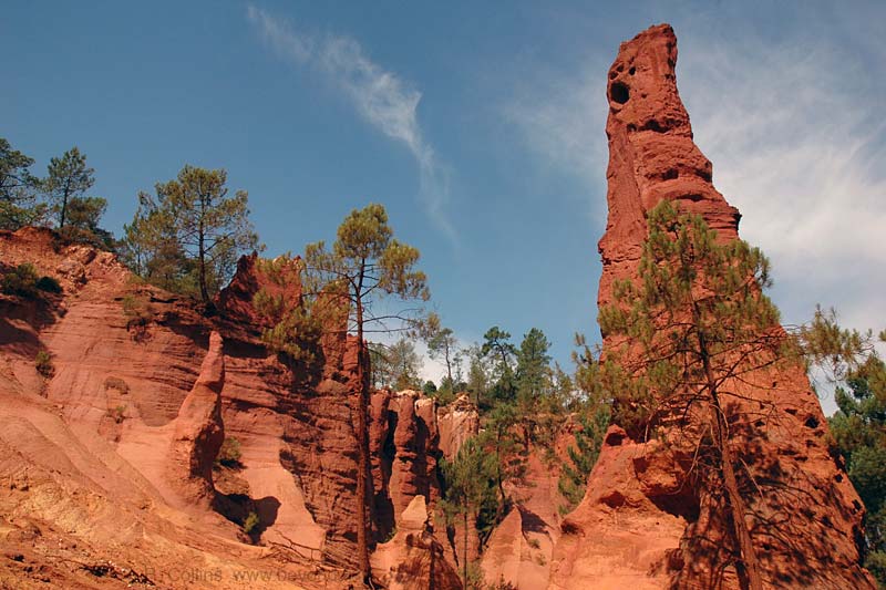
9/11. Red ocre formations at Roussillon, in the Luberon National Park just north of the mountains
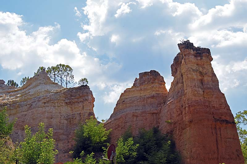
10/11. Red ocre formations also at Rustrel, in the Luberon National Park, north of the mountains

11/11. The Combe de Lourmarin is a narrow north-south pass cutting across the Luberon
 After 25 years online, I've decided to remove all Ads from my one-man web Provence Beyond. If the content is enjoyable or useful to you, I would really appreciate your support.